& Construction

Integrated BIM tools, including Revit, AutoCAD, and Civil 3D
& Manufacturing

Professional CAD/CAM tools built on Inventor and AutoCAD
Photogrammetry is the art and science of extracting 3D information from photographs. The process involves taking overlapping photographs of an object, structure, or space, and converting them into 2D or 3D digital models.
Photogrammetry software is often used by surveyors, architects, engineers, and contractors to create topographic maps, meshes, point clouds, or drawings based on the real world.
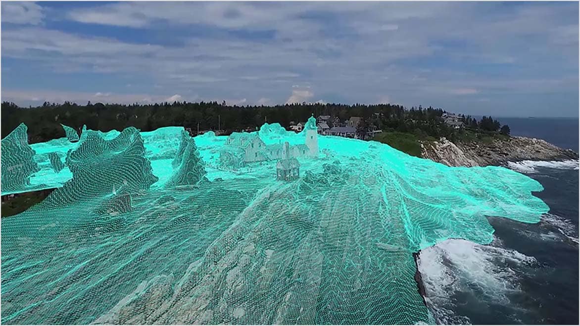
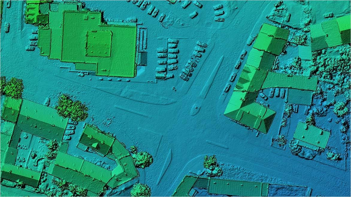
Aerial photogrammetry captures overlapping images of the Earth’s surface from an elevated position, such as an aircraft or drone, to extract three-dimensional information. Software enhances this process, automating the identification and correlation of common points across images.
Advanced photogrammetry software uses feature-matching algorithms and machine learning to optimize tie point identification, facilitating precise triangulation and detailed 3D models. Post-processing capabilities enable accurate maps, elevation models, and georeferenced outputs, making aerial photogrammetry a valuable tool in fields from urban planning to environmental monitoring.
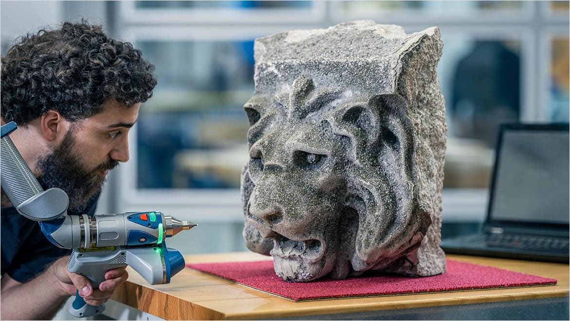
Close-range photogrammetry is a specialized technique for capturing detailed 3D information from subjects near the camera, making it ideal for scenarios requiring high precision and resolution, such as small objects or archaeological artifacts. The method utilizes short baselines for improved accuracy during triangulation. Software advancements, exemplified by tools like Autodesk ReCap Pro, are key to optimizing close-range photogrammetry workflows.
These tools employ sophisticated algorithms to automate the identification of common points across images for precise triangulation and 3D reconstruction. The software often includes advanced meshing and texturing features, helping users generate highly detailed, realistic 3D models.
Learn about some of the top benefits of photogrammetry software from Autodesk.
Cloud-based photogrammetry software streamlines operations, providing efficient access to tools and collaborative features. With resource-intensive tasks processed remotely, users benefit from faster 3D model generation and improved scalability. The cloud-based approach enables flexible, location-independent access to projects, fostering collaboration among team members in real time. This optimizes resource utilization and enhances efficiency across applications, from urban planning to virtual reality content creation.
Photogrammetry software can improve decision-making across diverse fields such as urban planning, agriculture, and land management. In urban planning, the software enables accurate, detailed mapping of terrain and structures, aiding assessment of infrastructure development and environmental impact. In agriculture, it facilitates precision farming by providing essential data on crop health, soil conditions, and land topography, yielding better resource allocation and crop management. For land management, photogrammetry software offers comprehensive insights into terrain features, vegetation, and natural resources, supporting informed decisions related to conservation, forestry, and environmental monitoring.
Aerial photogrammetry is a crucial tool for data collection in remote or hard-to-reach locations that may be challenging or dangerous for ground-based methods. Aircraft or drones are equipped with cameras to capture high-resolution imagery from elevated perspectives to achieve comprehensive mapping and analysis of vast, inaccessible terrains. From rugged landscapes and dense forests to disaster-stricken areas, aerial photogrammetry provides a bird’s-eye view for accurate 3D modeling and spatial mapping. This is invaluable in environmental monitoring, disaster response, and infrastructure assessment and rehabilitation projects.
Image import is a crucial initial step where digital images are brought into photogrammetry software for analysis and reconstruction. This process involves uploading overlapping pictures captured from different viewpoints, obtained through aerial surveys, drone flights, or ground-based photography. Photogrammetry software then identifies common features across these images, which can then be used in processes like bundle adjustment, triangulation, and the generation of detailed 3D models. The imported images’ accuracy and quality directly influence the photogrammetric output’s precision. High-resolution pictures with optimal overlap and distinctive features are essential in this phase.
Camera calibration is a fundamental process within photogrammetry software, determining and refining the parameters needed for accurate 3D reconstruction. Intrinsic parameters, such as focal length and lens distortion, pertain to the internal characteristics of the camera, while extrinsic parameters define its position and orientation in the 3D space during image capture. Using known reference points or calibration patterns, photogrammetry software ensures precise mapping between the 2D images and their corresponding 3D spatial information. Accurate camera calibration is indispensable for producing reliable and scale-appropriate results.
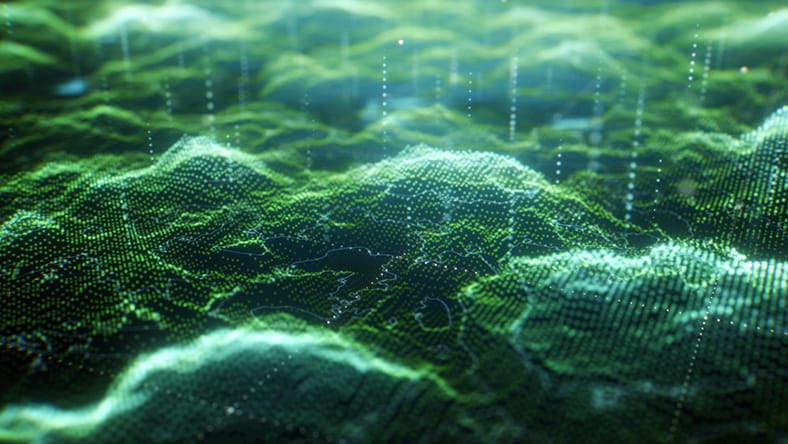
3D reconstruction in photogrammetry is the transformative process of generating a 3D model from a set of 2D images. Photogrammetry software orchestrates this intricate procedure, with steps such as camera calibration, feature matching, and triangulation. During the process, the software analyzes overlapping images, identifying common points and calculating their 3D coordinates in the real world. Through triangulation principles, photogrammetry software reconstructs the surface and structure of the subject, yielding a detailed 3D model. Photogrammetry software stands at the forefront of this technology, helping professionals seamlessly transform images into accurate, immersive 3D representations for analysis and visualization.
Georeferencing is a pivotal process in photogrammetry that assigns geographic coordinates to spatial data, ensuring accurate alignment with the earth’s surface. This spatially referenced data is integral to geographic information systems (GIS), for analysis and management of geographic information. Photogrammetry software is used to generate georeferenced products, such as orthophotos and 3D models, that seamlessly integrate into GIS environments. The combination of georeferencing and GIS facilitates a deeper understanding of spatial relationships and helps users make informed decisions for their respective industry applications.
Powerful BIM and CAD tools for designers, engineers, and contractors, including Revit, AutoCAD, Civil 3D, Forma Site Design, and more
ENGINEERED ARTS
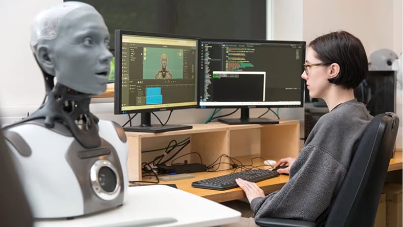
Manufacturer uses Autodesk Inventor and advanced photogrammetry software to craft lifelike robots and create captivating experiences.
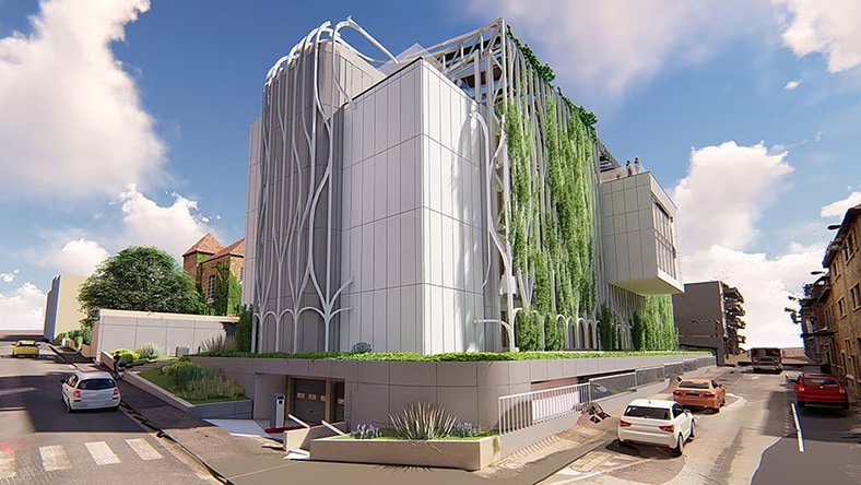
OUYOUT
Paris-based architecture firm uses Recap Pro photogrammetry software to bring a visionary restoration project to life.
Image courtesy of OUYOUT Architects
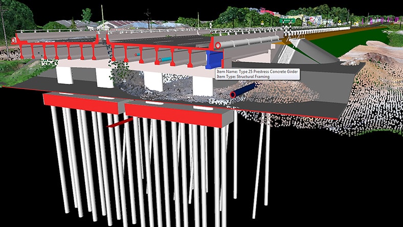
MALAYSIAN DESIGN AND CONSTRUCTION TEAMS
Firms use photogrammetry software and a comprehensive suite of Autodesk BIM solutions to drive infrastructure expansion.
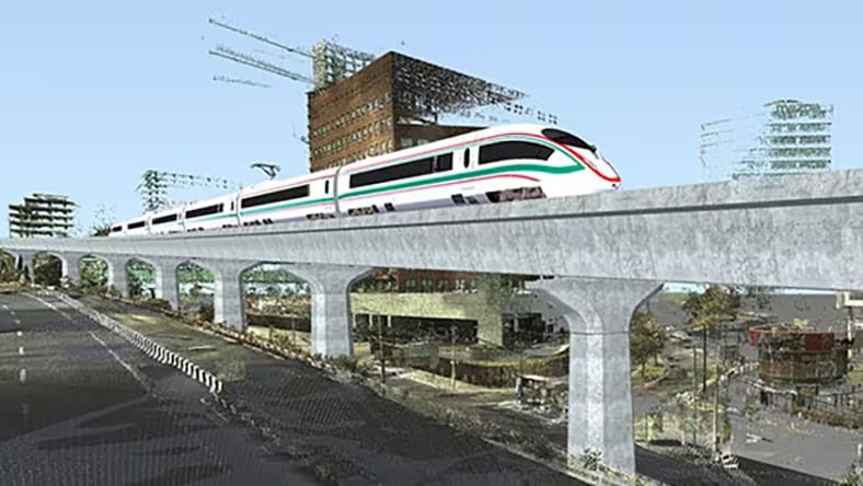
CONSORCIO
A Mexican civil engineering firm uses building information modeling (BIM), geoinformatics, and photogrammetry software to develop a commuter railway.
Image courtesy of Consorcio IUYET
Learn more about photogrammetry software with these helpful resources from Autodesk.
Discover how to seamlessly integrate photogrammetry models into programs like Revit, ReCap, Civil 3D, and InfraWorks.
Gain practical insights and tips on framing, lighting, and capturing details to enhance the photogrammetry process.
Explore the essentials of aerial photogrammetry and discover industry workflows with applications like ReCap Pro, 3ds Max, InfraWorks, and AutoCAD Map 3D.
Achieve unparalleled accuracy and efficiency in your surveying and documentation processes with reality capture photogrammetry software.
Discover how to optimize construction processes using drone photogrammetry data with tools from the Autodesk AEC Collection and Construction Cloud.
Learn how to cut rendering times, extract vector elements for your designs, and manage your point cloud data to accelerate your scan-to-design workflows.
Learn more about photogrammetry software, tools, and techniques with these top questions frequently asked by users.
3D photogrammetry is a technique used to create three-dimensional models of objects or environments through the analysis of photographs. By capturing a series of overlapping images of a subject from different viewpoints, specialized software processes the images to identify common features and calculate their spatial positions in a 3D space. 3D photogrammetry finds applications in various fields such as mapping, surveying, cultural heritage preservation, archaeology, industrial measurement, and virtual reality content creation, providing detailed and accurate representations of physical spaces and objects.
Lidar and photogrammetry are distinct methods for 3D scanning and mapping. Lidar employs laser beams to directly measure distances and create highly accurate and dense point clouds. This makes it suitable for applications demanding precision, such as topographic mapping and autonomous vehicle navigation. In contrast, photogrammetry relies on the analysis of overlapping photographs to reconstruct 3D geometry. This makes it more applicable to scenarios like 3D modeling, cultural heritage preservation, and virtual reality content creation.
To engage in photogrammetry, you'll need a digital camera preferably a DSLR or mirrorless camera, with manual settings, mounted on a stable tripod for consistent and sharp images. A powerful computer is essential for running photogrammetry software. A drone equipped with a suitable camera can capture images from different perspectives for aerial photogrammetry. In some cases, physical targets or ground control points may be necessary for improved accuracy. Additionally, a GNSS receiver can be employed for high precision georeferencing, and external lighting equipment may be needed depending on the lighting conditions.
Photogrammetry can achieve high accuracy in 3D modeling, but its precision depends on various factors. The quality of the camera, level of image overlap, and image quality significantly impact accuracy. Incorporating ground control points with known coordinates enhances georeferencing, especially for applications requiring precise spatial information. Accurate surveying of control points, proper camera calibration, and consideration of environmental conditions are crucial for optimal results. Terrain and scene complexity also influence accuracy, with features having sufficient texture and contrast contributing to better outcomes. The choice of photogrammetry software and its algorithms further affects the accuracy of the final model.
Photogrammetry can be used effectively indoors, but there are factors that should be considered. Challenges in indoor environments include limited and uneven lighting, lack of texture, and confined spaces. Overcoming these challenges involves careful management of lighting, adjusting camera settings, ensuring adequate overlap between images, and capturing photos from various perspectives to improve accuracy. Camera calibration can correct distortions, as can establishing scale through known distances or calibration objects.
Photogrammetry is a versatile technology suitable for diverse projects. In architecture, engineering, and construction, it helps create detailed 3D models of buildings and construction sites. Cultural heritage documentation benefits from photogrammetry’s ability to reconstruct artifacts and monuments in three dimensions. It plays a crucial role in forestry, environmental monitoring, mining, and infrastructure inspection, offering valuable industry insights. Additionally, photogrammetry is useful in virtual reality, gaming, precision agriculture, emergency response, and film production. The real estate industry also uses photogrammetry to create immersive 3D models of properties and landscapes.
